By Kelley Young
How does a community ensure it has clean water for decades to come?
As an outreach project manager with Auburn University’s Water Resources Center (WRC), Laura Cooley knows community involvement in any planning process is paramount.
“Planning is critical for communities, not only for preserving drinking water, but also for recreation,” Cooley said. “As a community, it’s important to ask what you want your water resources to be like. How do you want to use them? How do you care for them?
“Taking the time to get the community together to start asking those bigger questions is really important to resiliency.”
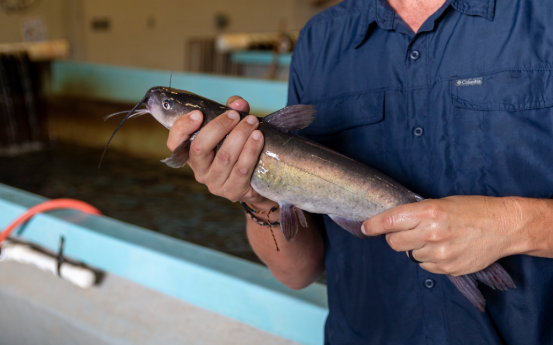
Housed in the College of Agriculture’s Alabama Agricultural Experiment Station and supported by the Alabama Cooperative Extension System, the WRC’s activities include both research and outreach. The staff collaborates with Auburn faculty members from areas that include civil engineering, aquaculture, landscape architecture and environmental conservation and management and works with citizens and communities to monitor and improve the quality of water sources.
In her role, Cooley manages watershed restoration projects and educates communities on how to care for rivers, streams and creeks. She helps neighbors, local governments, engineers and utility providers work together by organizing community meetings and communicating between groups. She also creates educational materials, including brochures and graphics, that help explain complex problems surrounding water quality.
Moore’s Mill Creek Watershed Project
The WRC works on watershed projects of all sizes across the state, including small-scale, community-based projects like the one Cooley is currently spearheading: the Moore’s Mill Creek Watershed Project right here in Lee County.
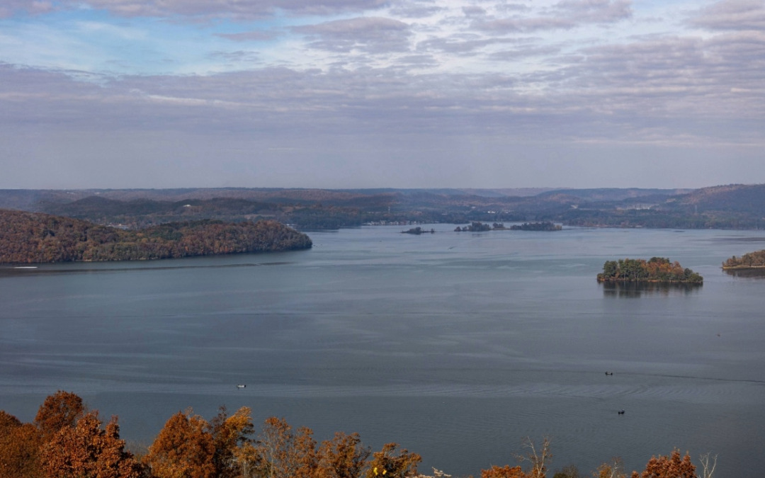
At 14 miles long, Moore’s Mill Creek begins near the Tiger Town shopping complex and travels under I-85 and through the Moore’s Mill Club golf course before emptying into the lake at Chewacla State Park. The Alabama Department of Environmental Management’s Nonpoint Source Unit has marked the creek as “impaired” due to high levels of sediment and pathogens, both of which can affect aquatic life and negatively impact boaters, swimmers and anglers in the park.
The creek already has a watershed management plan created in 2008, but with the explosion of growth and development in Auburn and Opelika, it is now in need of an update. Whether commercial, industrial or residential, any development limits the amount of ground available to absorb rain. That means more rainfall with more erosive force runs off into local waterways, taking sediment and pollutants with it.
Cooperation makes it happen
Watershed planning is a complicated process that can involve citizens, businesses and community organizations, as well as local governments. Creating a watershed plan is not a required process for municipalities, so Cooley is grateful for the cooperation of the cities of Auburn and Opelika.
She’s also glad to be working with Jose Vasconcelos, a professor of civil and environmental engineering in Auburn’s Samuel Ginn College of Engineering. Vasconcelos and his students are a vital part of creating the watershed plan. They are installing sensors across the watershed and collecting data to see how the water levels vary according to rain events.
“The goal is to see how rain events are impacting hydrology in the watershed and then predict how those impervious surfaces change the hydrology if there’s more development in the next 10 to 20 years,” Cooley said. “Our efforts are to work with the cities to identify the major sources of erosion and where the stormwater is really making a negative impact on the waterway so we can figure out ways to mitigate those impacts.”
In it for the long haul
Cooley estimates it will take roughly 10 to 12 years to implement impactful projects outlined in the watershed planning process. Why so long? She explains watershed pollution problems are not always easily uncovered.
“Pathogens can enter the water through a variety of ways,” she said. “It could be pet waste or agriculture, but it could also be aging infrastructure, and those can be really hard to pinpoint.”
As she spearheads the creation of the watershed plan, Cooley is hoping that with Vasconcelos’ data and input from residents at community meetings, local governments and stakeholders will be able to see the value of implementing the plan.
“The goal of the modeling is to be a planning tool for cities so they can better predict the impact of development and design how they want to mitigate the impact of stormwater,” Cooley said. “Ideally, it will be a data-backed, useful tool the cities can really use.”